

Publications
Categorías











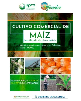
Zoning is aimed at identifying and delimiting areas suitable for the establishment and development of commercial cultivations of yellow and white corn with increasing technology in warm weather, as a basis for a technical, environmental and competitive development of this productive activity, and to contribute to the formulation of land-use planning and efficient use of rural land guidelines, as well as the identification of clusters to guide both public and private investment.


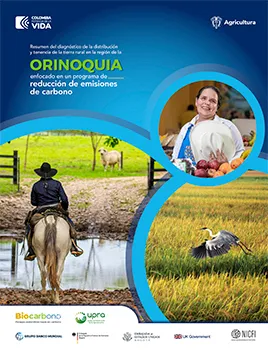
Summary of the diagnosis of the distribution and ownership of rural land in the ORINOQUIA region focused on a carbon emissions reduction program.
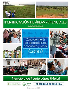
This report contains the methodology and results of identifying potential areas for declaring a ZIDRES (Special Economic Development Zones for Agricultural Transformation) in the municipality of Puerto López, in the Meta department. It serves as input for the delineation of these areas through a CONPES document by the national government.
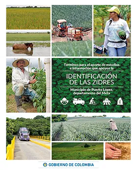
This document establishes terms for the contributions of studies or information that support the identification of Zidres. These areas of rural, economic and social development interest (Zidres in Spanish) are understood as territories with agricultural, livestock, forestry and fish farming suitability, which share relatively homogeneous characteristics in terms of agricultural suitability, considered of public and social interest and which should create a new model of regional economic development based on sustainable human development, social development, environmental sustainability, land use planning and formal economy.
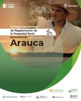
This Territorial Strategy for the Management of Rural Property Regularization (ETGRPR) in the department of Arauca, of the Biocarbono Orinoquia Low Carbon Sustainable Landscapes Project, with the technical supervision of the UPRA, adds to the efforts of the Ministry of Agriculture and Rural Development and the National Land Agency, in their commitment to comply with the first point of the Havana Agreement on Comprehensive Rural Reform, established within the goals of the National Development Plan, in relation to the regularization and formalization of private property.
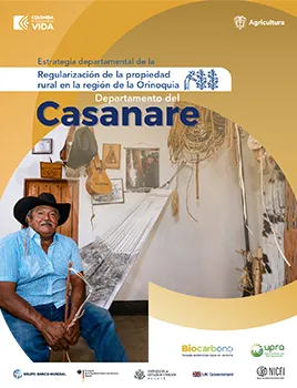
The Territorial Strategy for the Management of Rural Property Regularization (ETGRPR) is an alternative that was formulated to address the problems of informality in rural land ownership and to progressively clean up the legal situation of unregistered properties, aimed at the department of Casanare to promote the joint execution of specific actions between the different entities responsible for property regularization and land management.