 24/4/2024
Colombia Plans the Countryside: Caribbean Region

17 national and regional entities collectively developed inputs for the conceptualization of agricultural and rural planning instruments based on territorial planning around water.
Colombia has a national agricultural frontier of 42,944,940 hectares.
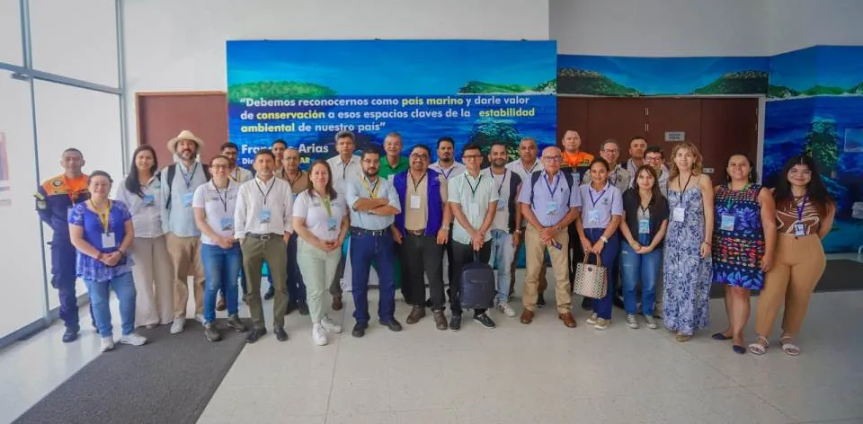
Santa Marta, Magdalena, (@UPRAColombia @Claudialili76 @INVEMARColombia). With the participation of representatives from the seven departments of the continental Caribbean region and national entities from the agricultural, environmental, and planning sectors, the "Colombia Plans the Countryside" workshop took place on April 23, 2024, in Santa Marta. It was a space for participation and collective construction aimed at socializing with different sectors and communities the instruments for agricultural and rural planning and their harmonization.
"Our purpose is to achieve coordination in joint decision-making by national and regional government entities, as well as other entities and sectors present in this area of the country, in order to coordinate actions and optimize efforts in the territory. This is to make Colombia a food basket that protects family, peasant, and community agriculture and ensures planning around water," explained Adriana Pérez, technical advisor at UPRA.
Alexander Rodríguez Romero, technical director of Land Use Efficiency and Land Adjustment at UPRA, added: "During the workshop, the national agricultural frontier on the continental level was socialized; an approach was made to how the frontier is conceptualized and identified in the marine-coastal context. Additionally, the Zoning for artisanal marine coastal fishing suitability and the Zoning for traditional coconut, squash, and industrial hemp suitability were presented, both at a 1:100,000 scale. With this work, we build from and for the regions, making a special recognition of water and soil as essential elements of life, which revolve around the special protection of farmers and fishermen as special rights-holders."
The event was attended by representatives from the Caribbean region of environmental corporations and the governments of La Guajira, Cesar, Magdalena, Atlántico, Bolívar, Sucre, Córdoba, as well as ministries of Agriculture and Environment, National Planning, INVEMAR, DIMAR, AUNAP, and UPRA.
In this context, Paula Sierra, coordinator of Research and Information for Marine and Coastal Management at INVEMAR, said: "We are pleased with the success of the technical meeting we had with UPRA, as we managed to bring together 17 entities from the region working for the seas and oceans; a project that continues, and in a week, will take place in the Pacific to advance in the development and harmonization of both artisanal and industrial fishing, protecting biodiversity and communities, aiming to achieve regional development."
It is worth noting that one of UPRA's objectives is the planning and management of the productive and social organization of rural property in Colombia, contributing to the efficient use of land and water, and to rural agricultural development with a social and environmental focus.
UPRA's work focuses on territories and communities, developed under the principles of strengthening the ecological and social function of property, ensuring planning around water, and promoting the productive potential of the Colombian countryside.
We invite you to learn more about the National Agricultural Frontier here: https://storymaps.arcgis.com/stories/c60f0822e1fa4929b08fa6621722d29a
And to explore and make use of the results of national zoning for 71 productive chains at www.upra.gov.co and its cartographic and spatial component at www.sipra.upra.gov.co
Likewise, explore INVEMAR's advances in its work on national marine ecosystems: www.invemar.org.co/web/guest/inicio

