 8/8/2024
Agricultural landscapes as a strategy to strengthen the planning and territorial management of the agricultural sector

UPRA has been working on the concept, regulations, policies, and operational aspects of agricultural landscapes since 2016.
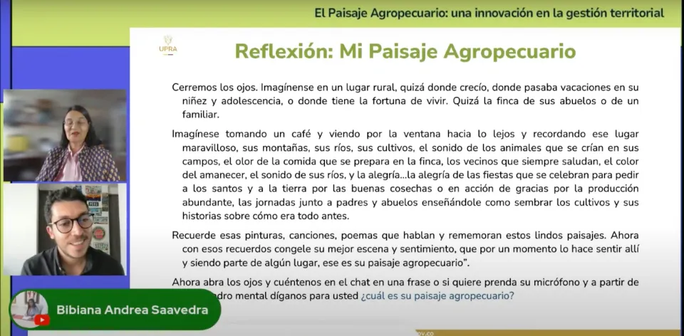
Bogotá, D. C., (@UPRAColombia, @claudialili76). In the UPRA Classroom Workshop "The Agricultural Landscape: An Innovation in Territorial Management", the progress made by this UPRA working group from 2016 to the present was highlighted, resulting in the Landscape Charter for Cattle Ranching in the Flooded Savanna of Paz de Ariporo and the Landscape Charter for Family Farming Cocoa in the Acacireño Piedmont.
Nancy Aguirre, a member of the technical team of the Property and Land Market Planning Directorate at UPRA, stated that "at the entity, we have had a timeline since 2016, where we began to strengthen planning and territorial management for the agricultural sector. We wanted to adopt the agricultural landscape as an innovative approach that would complement the other instruments and visions that had been established to date regarding the planning and management of the sector."
Furthermore, in the first part of the UPRA Classroom Workshop, Aguirre explained that the agricultural landscape is a territory recognized by the population, predominantly associated with cultural heritage, related to agricultural practices and activities resulting from the interaction between humans and nature over time, which have shaped the way this geographic space is understood, occupied, and managed.
Subsequently, Juliana Combariza, a member of the agricultural landscapes group at UPRA, emphasized that one of the greatest challenges UPRA has faced regarding this issue is starting to bring landscape management into the territory. "To address this challenge, we have two instruments that UPRA has been developing: the first is the Agricultural Landscape Catalog, and the second is the Agricultural Landscape Charter (CPA)," Combariza explained.
It is important to clarify that the CPA is a voluntary agreement between local actors that seeks to facilitate actions within the rural territory for the management, planning, and sustainable management of agricultural landscapes.
Meanwhile, the Agricultural Landscape Catalog is a participatory tool to recognize, locate, characterize, and assess agricultural landscapes at the national, regional, and departmental levels, with the aim of guiding territorial planning and management, as well as territorial and sectoral policies.
Currently, UPRA has developed two pilot instruments: the Landscape Charter for Cattle Ranching in the Flooded Savanna of Paz de Ariporo and the Landscape Charter for Family Farming Cocoa in the Acacireño Piedmont.
UPRA is Developing the Agricultural Landscapes Catalog for Huila
In the first half of 2024, UPRA reached the department of Huila, specifically the municipalities of Aipe, Villavieja, Santa María, Algeciras, Pitalito, San Agustín, Isnos, Suaza, Tarqui, and Rivera, with the objective of identifying thematic parameters to describe the structure, function, and significance of eleven agricultural landscapes identified in the department.
The idea is that UPRA and the various actors in Huila will make progress in identifying the agricultural landscapes catalog for this department so that the instrument can be ready by the end of 2024.

